Landslides triggered by the 2015 Mw 6.0 Sabah (Malaysia) earthquake: inventory and ESI-07 intensity assignment
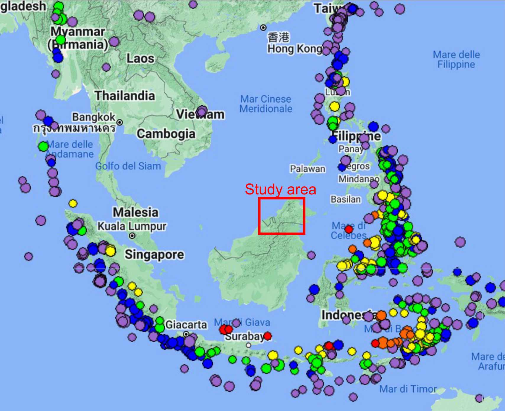
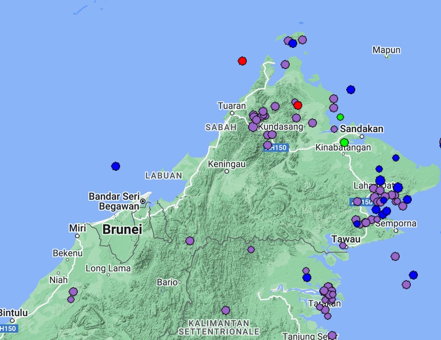
On 4 June 2015, a Mw 6.0 earthquake occurred in the Sabah region (Malaysia), triggering widespread landslides. The study area shows a lower seismicity than surrounding regions: Figure 1 shows the regional seismicity, while Figure 2 presents a closer view on the study area.
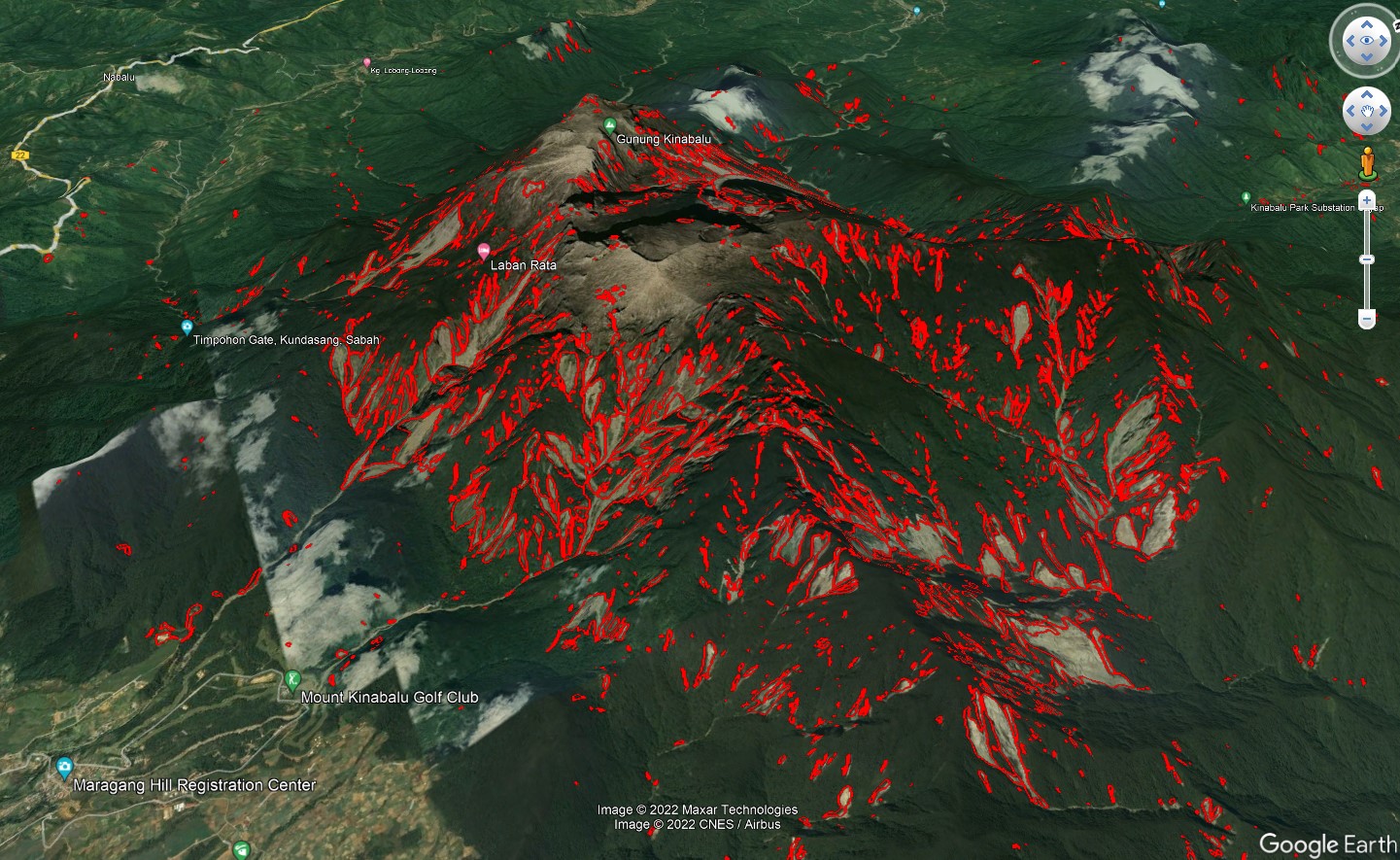
The earthquake triggered thousands of landslides along the slopes of Mt. Kinabalu, the first UNESCO heritage site in Malaysia. In a new paper published in NHESS I provide an inventory of 5198 landslides triggered by the earthquake and I analyze their spatial pattern. The full dataset is available here.
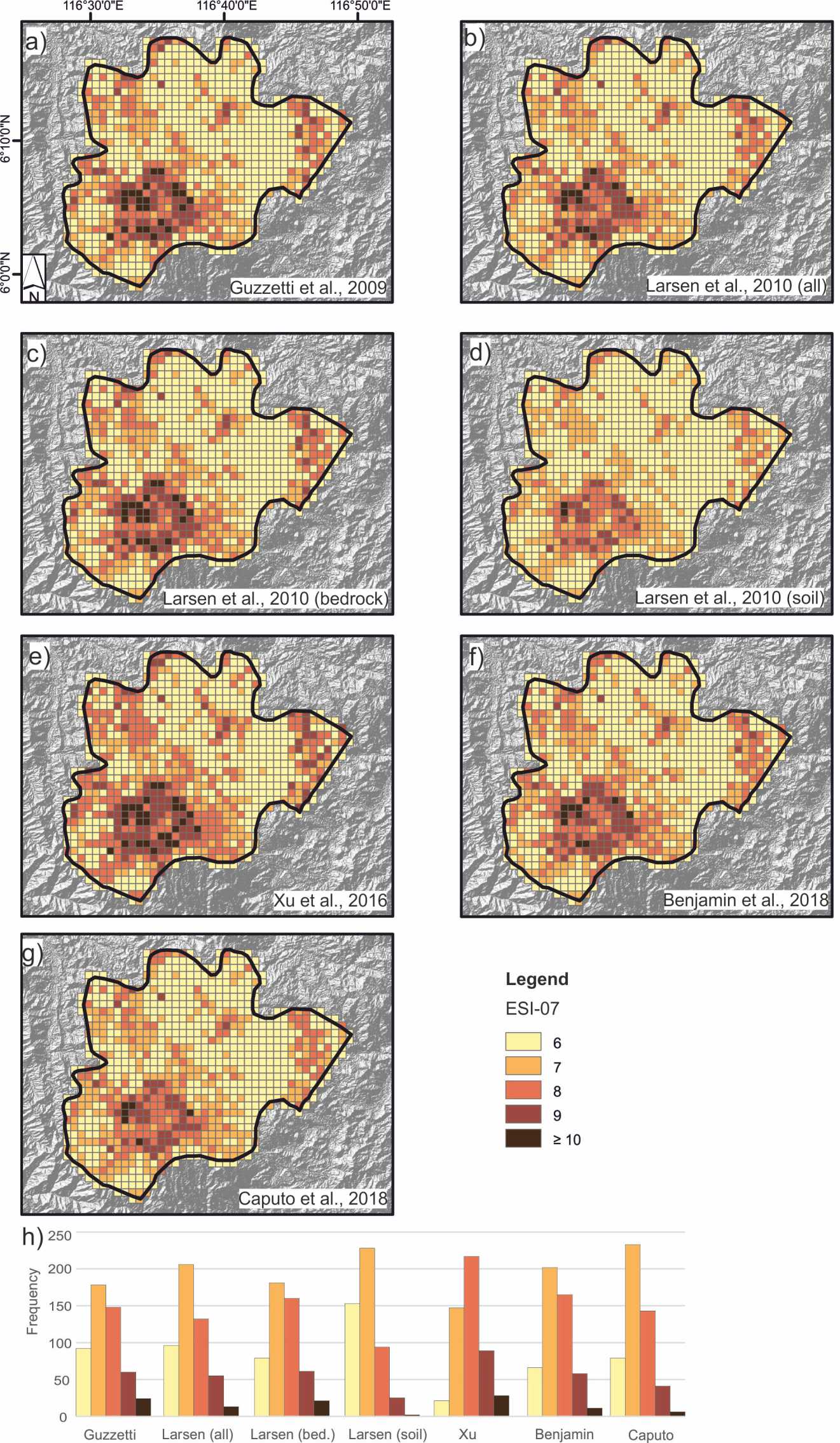
Then, I applied the Environmental Seismic Intensity (ESI-07) scale, which is an intensity scale based exclusively on effects on the natural environment. In order to assign an ESI-07 value to each landslide, I needed to convert the mapped area to volume: I tested several published relations, showing that the quality of input data is far more important than the choice of the scaling relation in driving the final result. Overall, I assign an epicentral ESI-07 intensity of IX; such figure agrees well with a dataset of global earthquakes.
I personally believe that the scientific communities dealing with the realization of earthquake-triggered landslide inventories and with the documentation of damage using the ESI-07 scale are working on different aspects of the same issue. The methodological workflow presented in the paper may foster a closer collaboration, which should be beneficial for both the communities.